

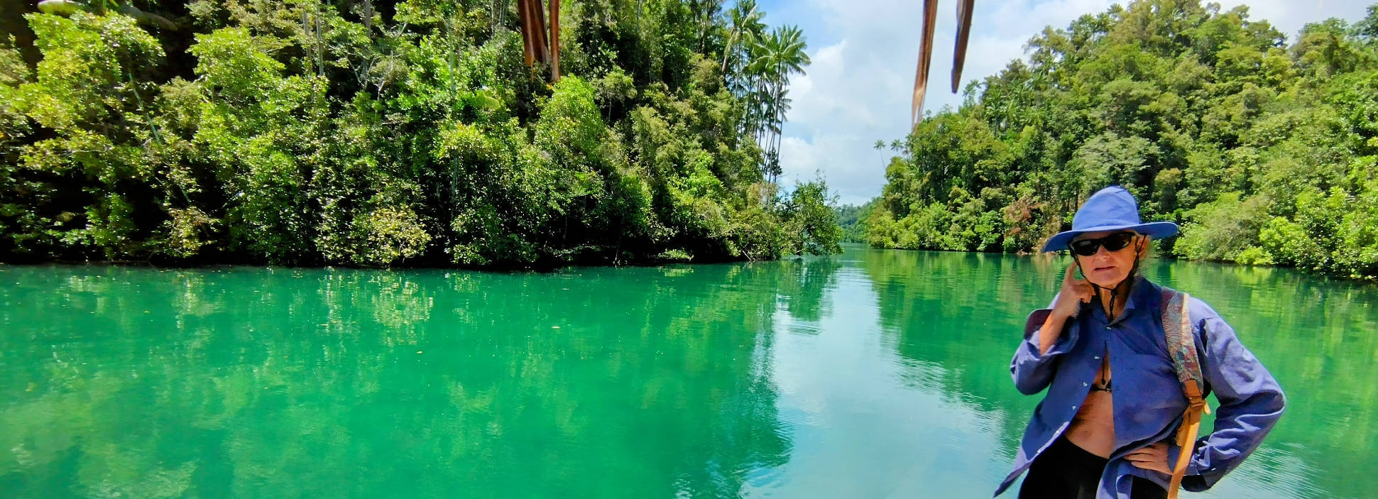
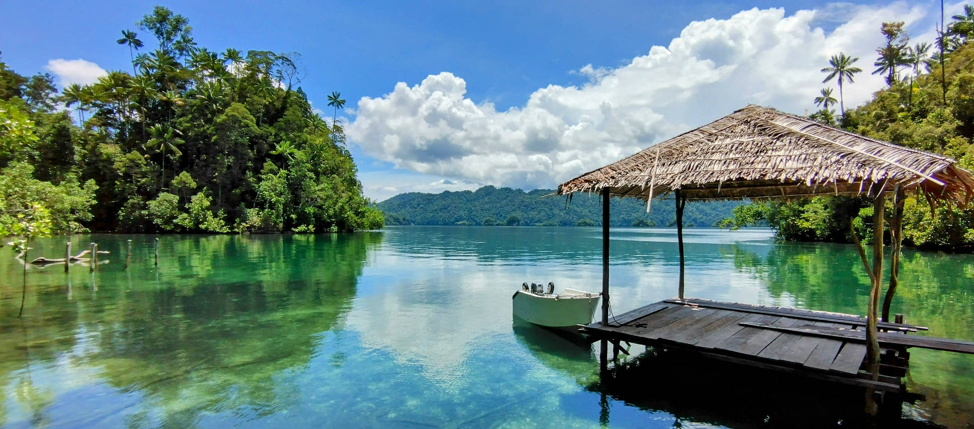
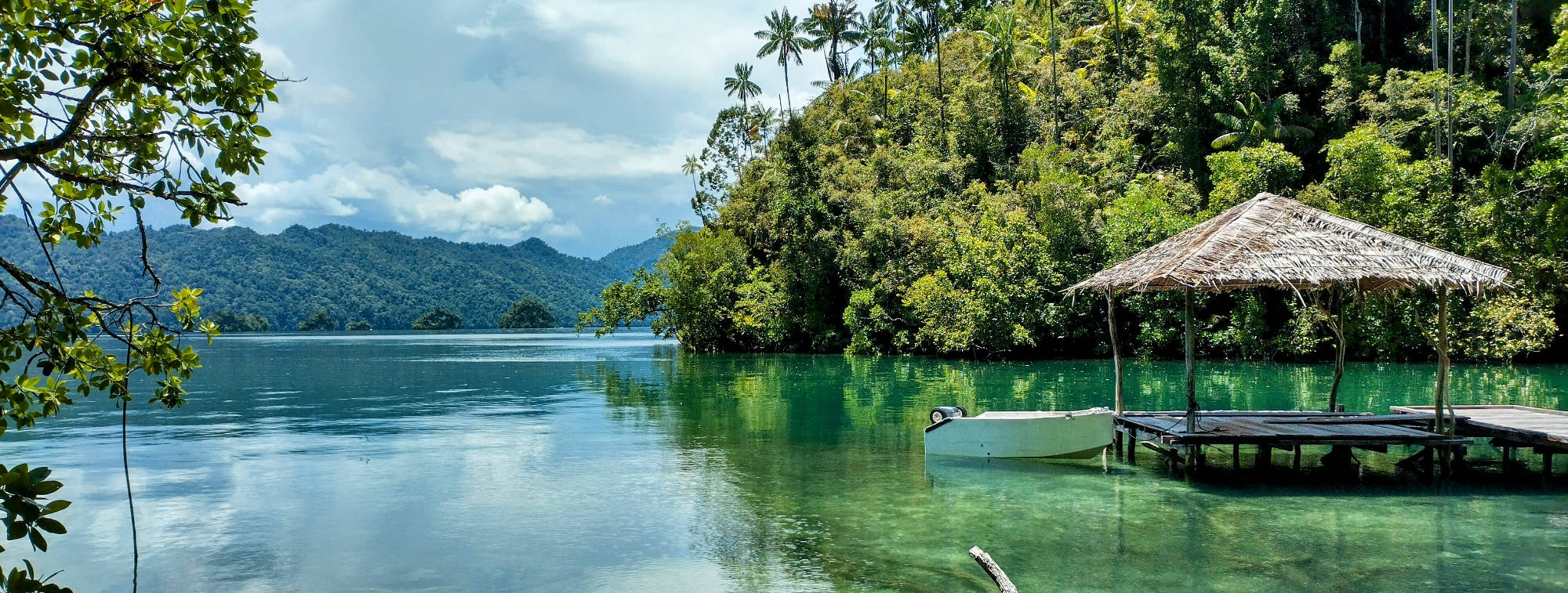
After our visit to the Blue River, we ventured further upstream above the tidal race, where the river opens into a huge bay that is the source of the strong tidal current. This bay, Teluk Malayabit, extends for about 20 nautical miles (around 40km) into the interior of the island of Waigeo, and almost splits the island in two. Most mornings the bay appears like a sheet of glass, but surrounded with overhanging cliffs, it can become a chopp waterway in some wind, with waves coming from every direction.
We anchored in a deep bay, off the south-east corner of Malayabit, and ventured out for exploring journeys in the dinghy, in between completing some boat maintenance tasks. One of the favourite destinations for these trips was the waterfall known as the Kolum Air Ajelly, which literally translates into “water sharpie”.
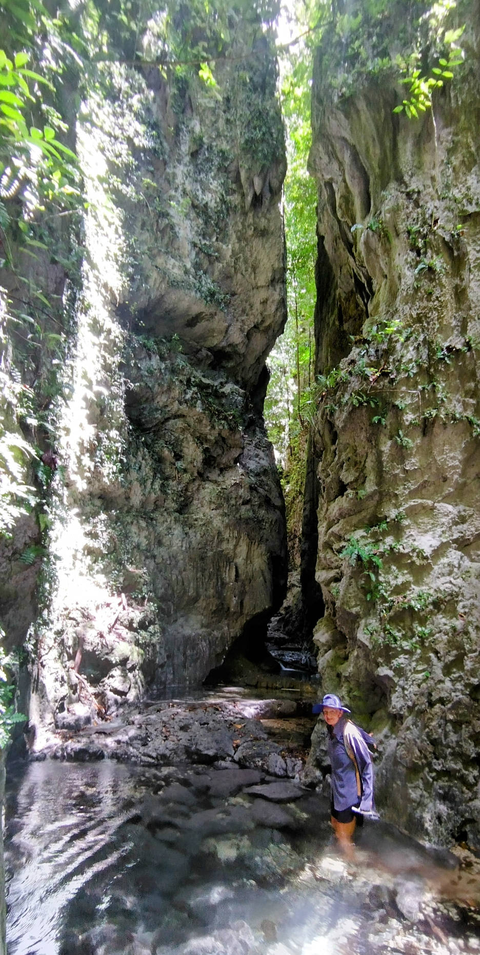
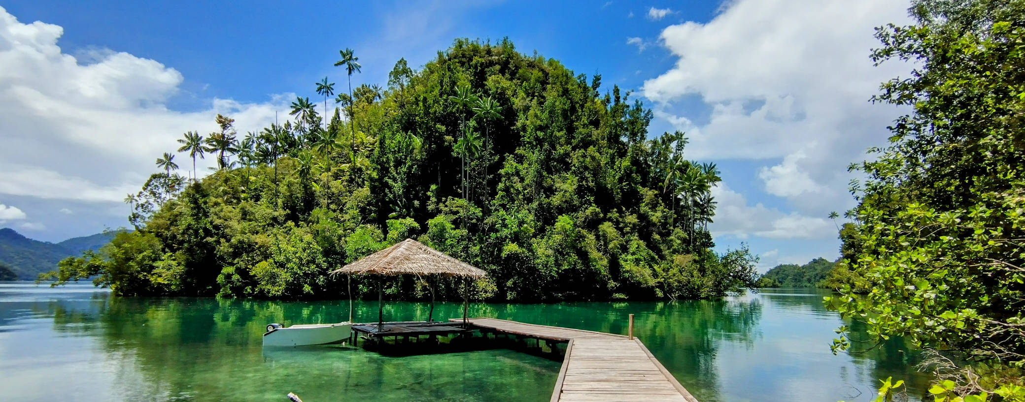
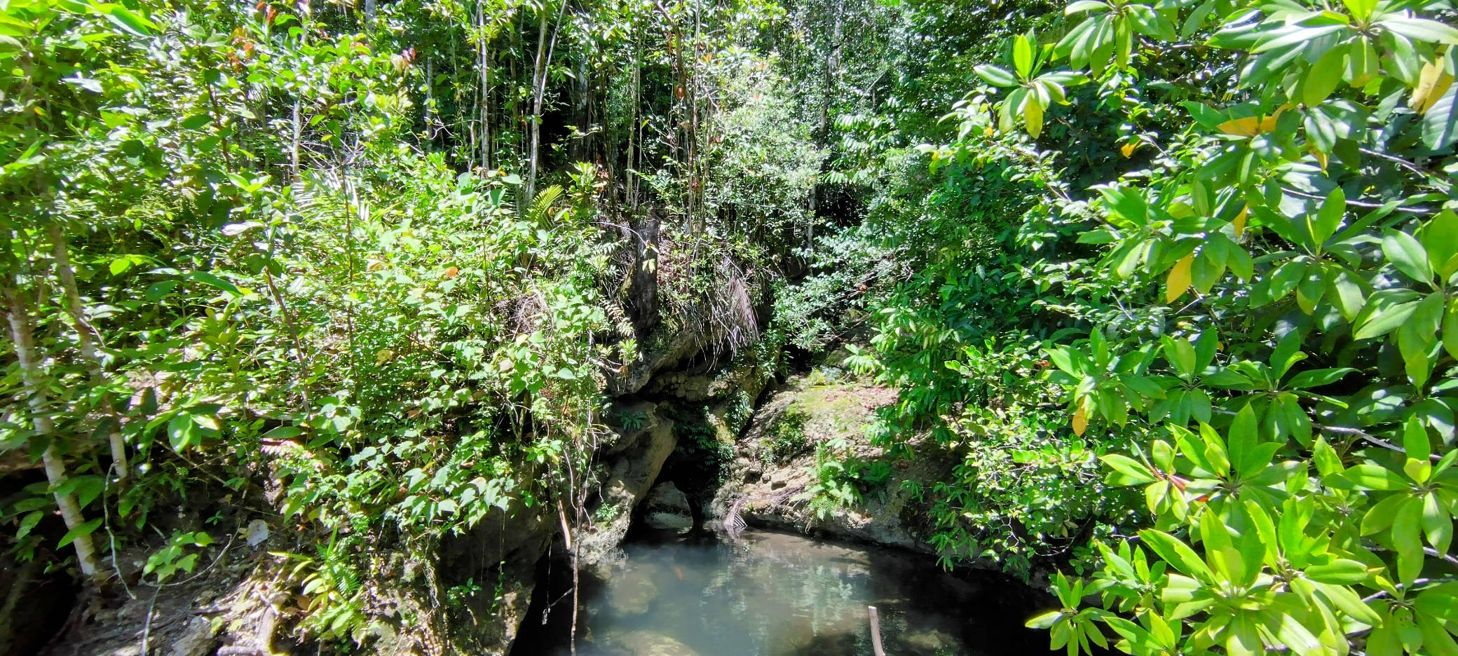
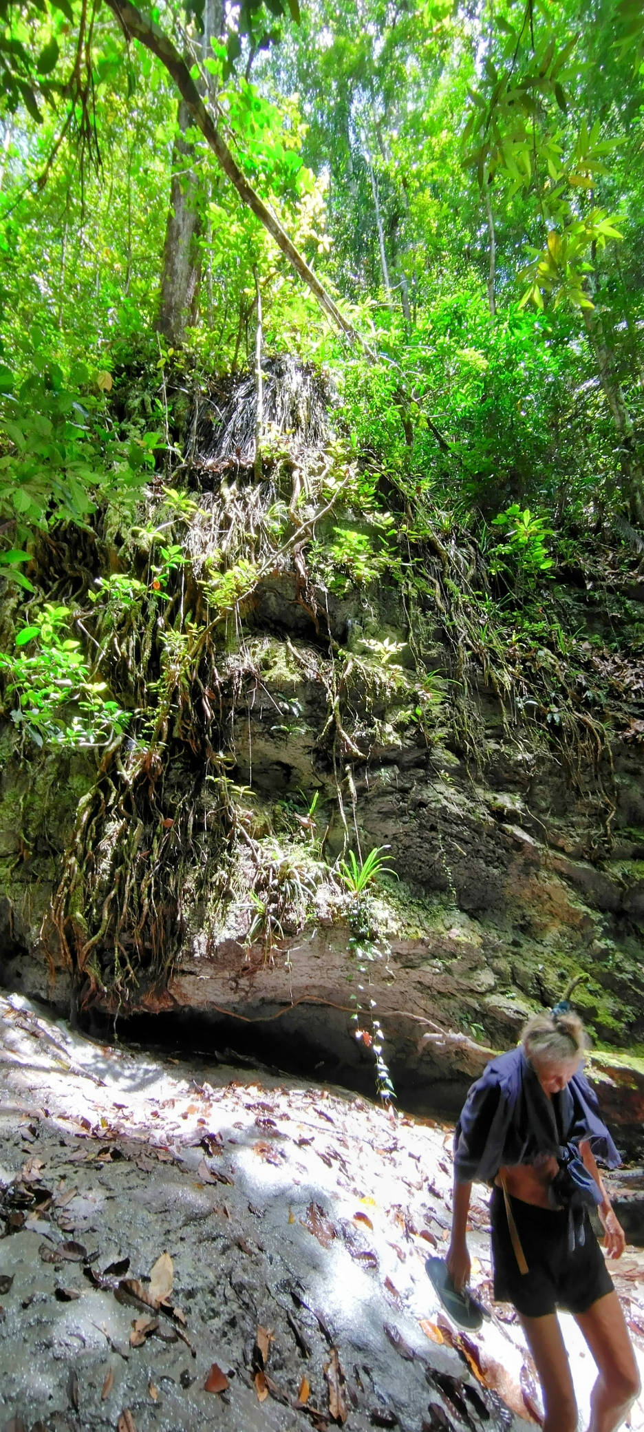
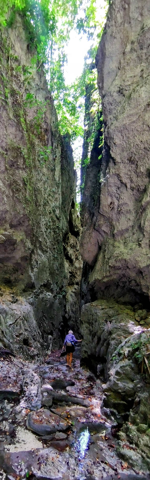
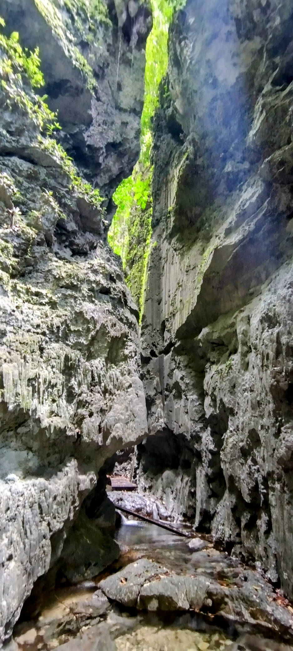
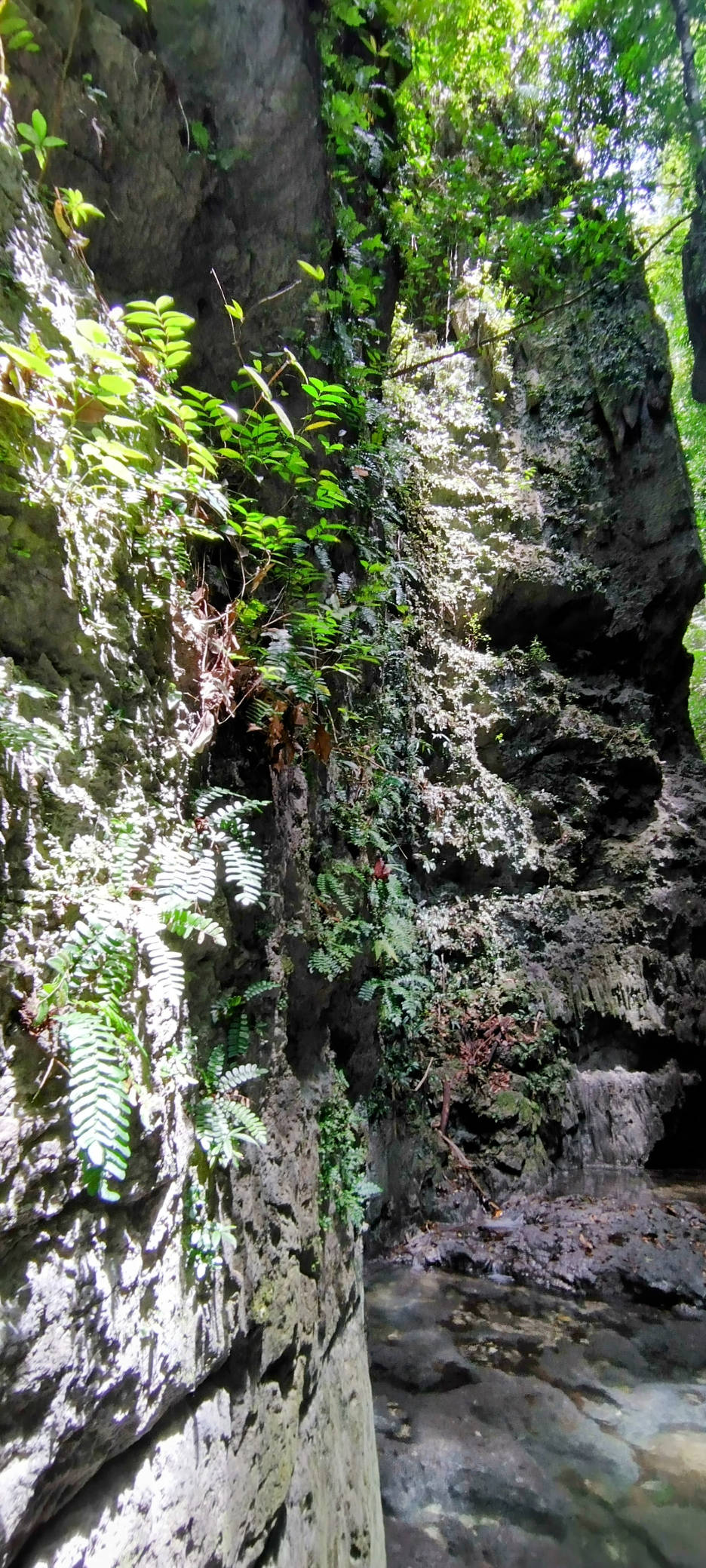
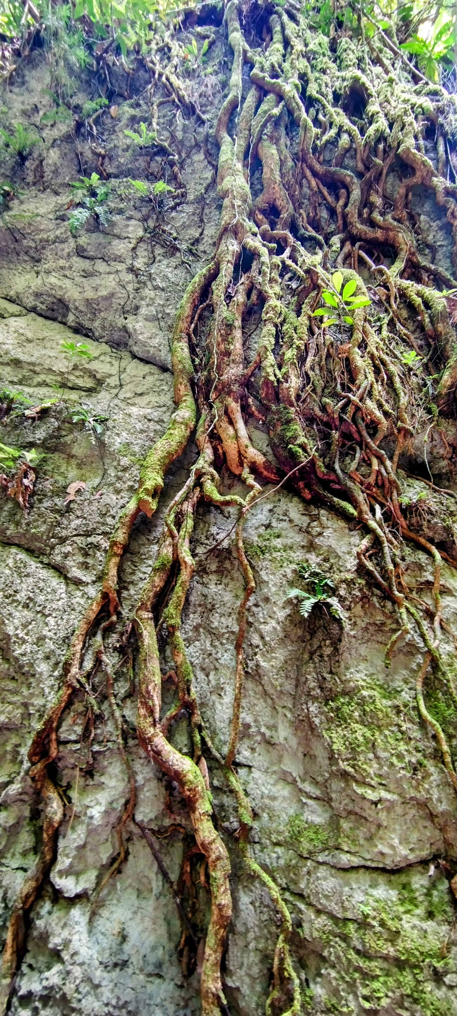
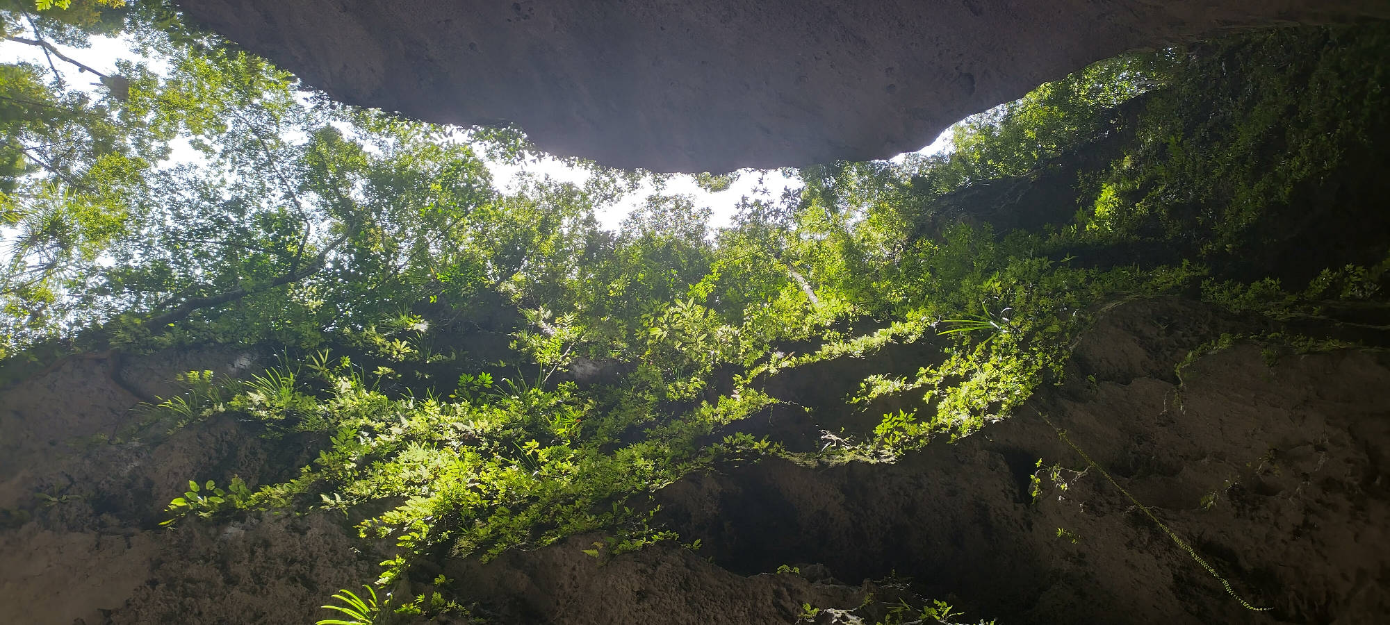
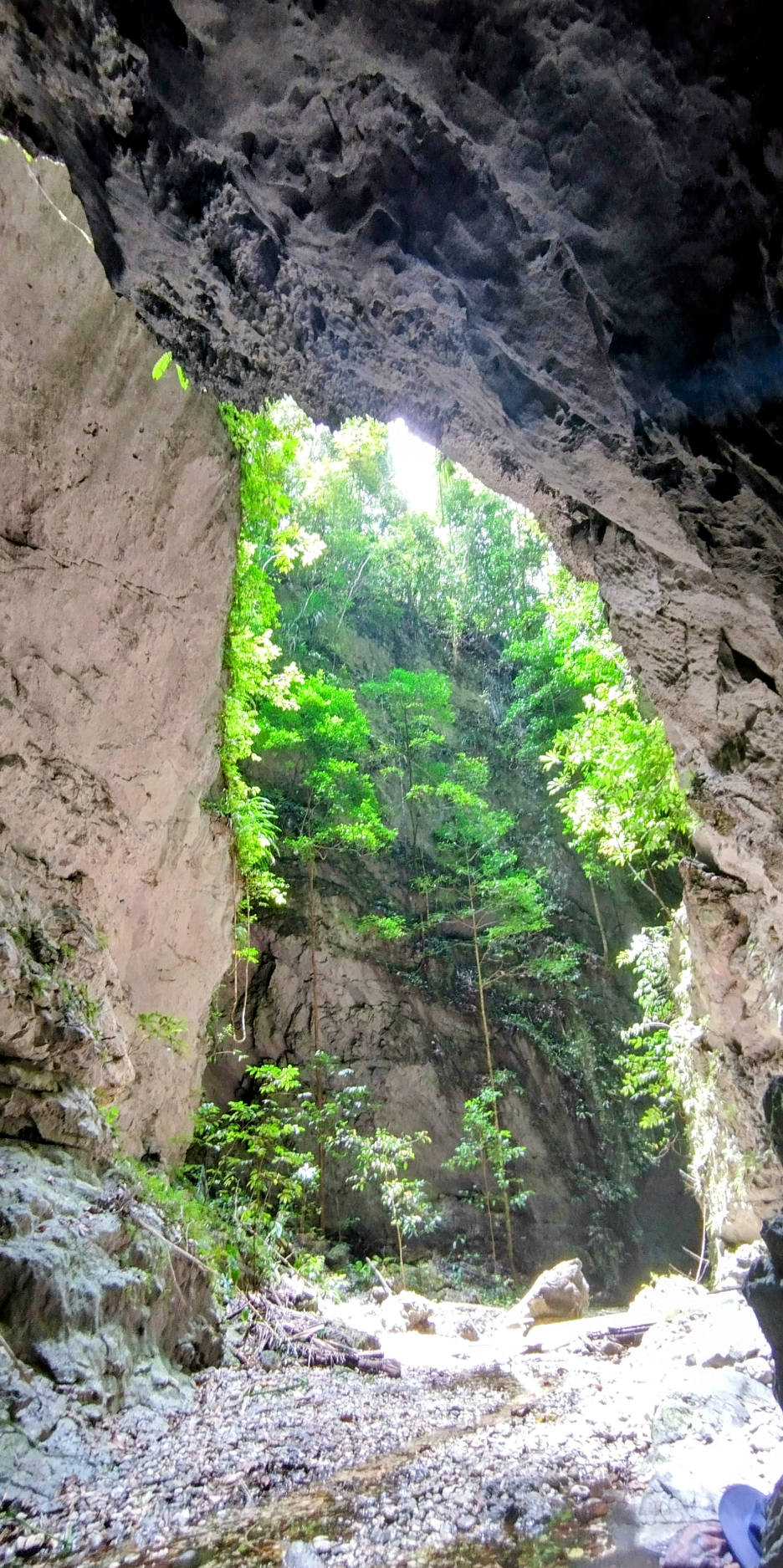
Here the jungle extends over the cliffs and literally into the bay, and if it was not for the jetty, I think it would have been impossible for us to get ashore. The jetty becomes a path that leads up into a narrow but deep gorge in the cliffs. The jungle above grows across the top of the gorge, hiding it from view from the bay, and then grows down both sides of the limestone canyon with ferns and roots extending down from above.
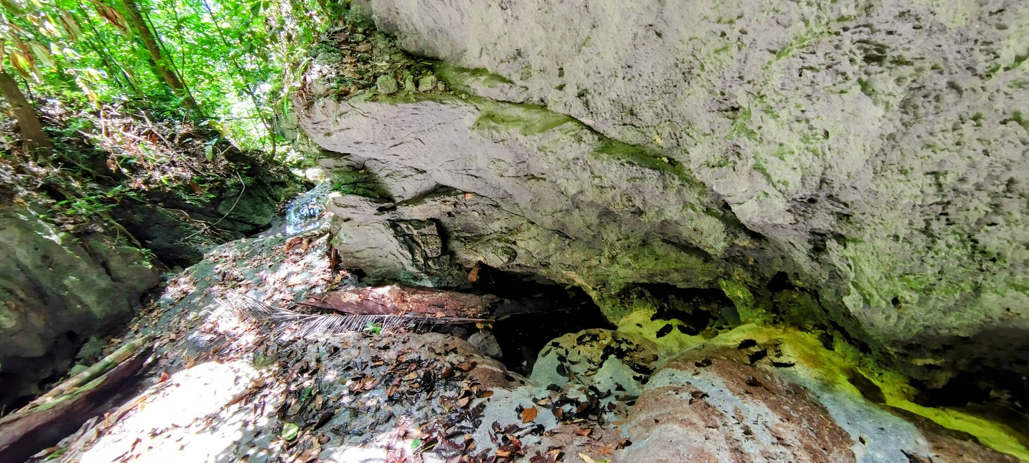
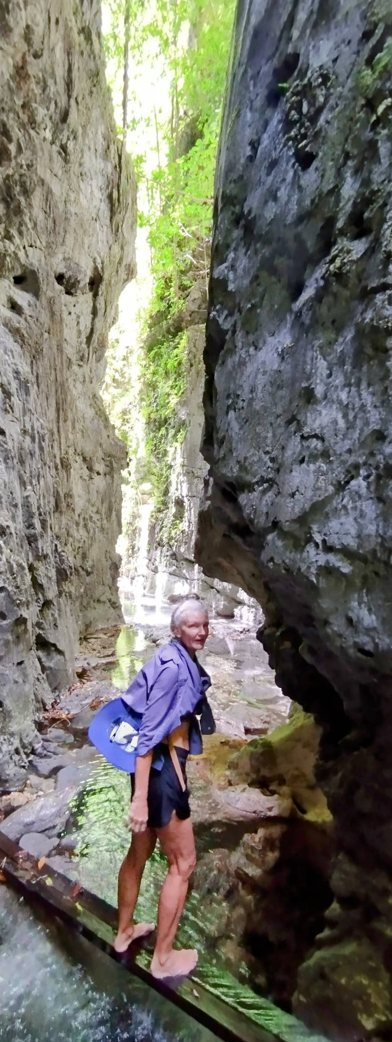
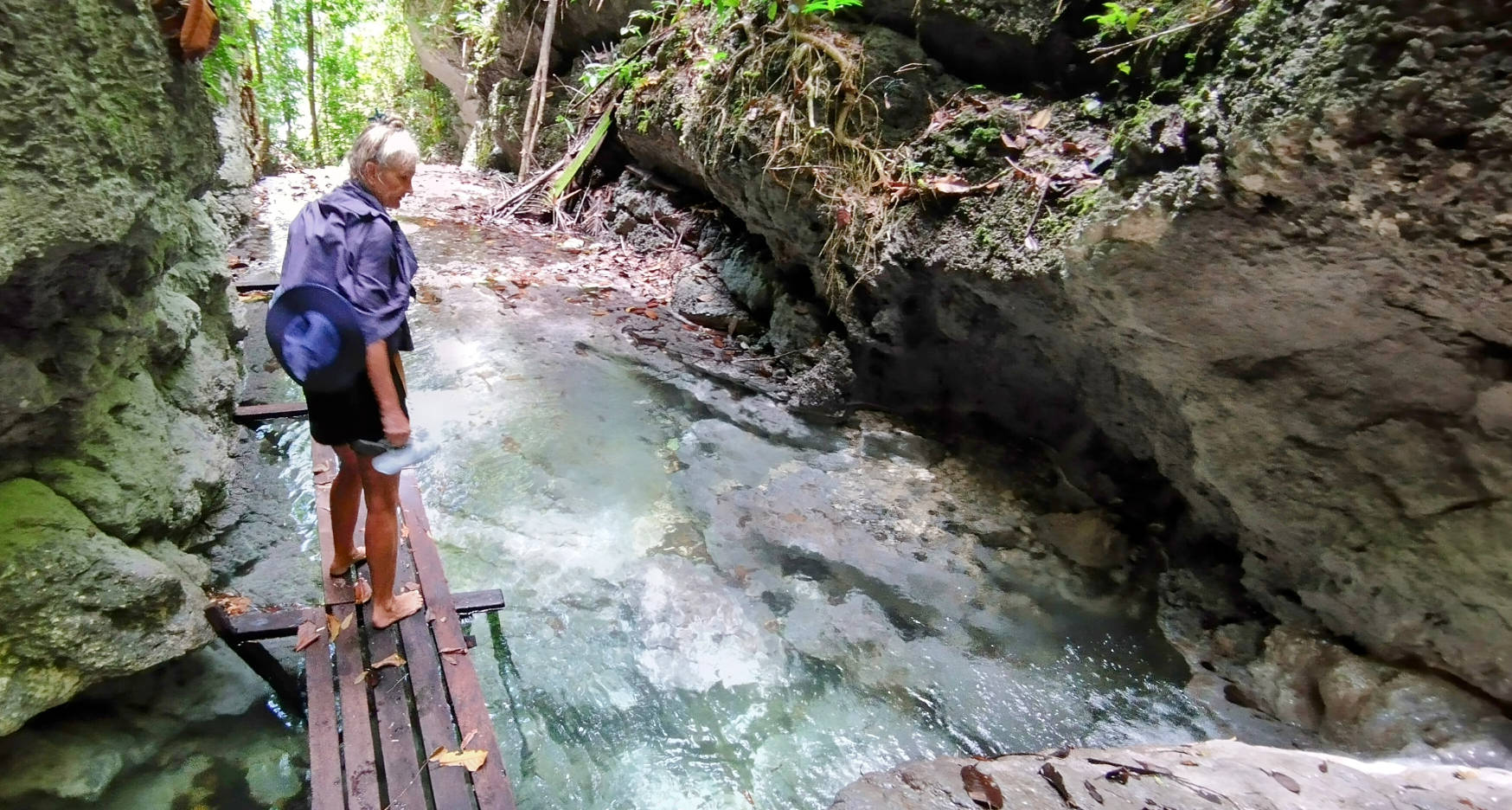
At first the path is dry, but soon there is running water from the stream that has created the gorge, and we observed here that the creek running down the gorge runs into the rocks and disappears underground before emerging into the bay below. As we ascended the steep climb up the gorge, the stream at times covered all the base of the canyon, requiring us to wade through the clear cold fresh water before ascending into another pool.
In places the ascent is on stairs cut into the rocks, and in other places it is a scramble over the smooth rock covered by the fast flowing stream. But even these wet rocks are not slippery, as the rock dissolves so quickly in the water that there is no slippery algae growing to reduce our foot hold on the rock. The rocks are as hard as any other rocks, but soluble to the water.
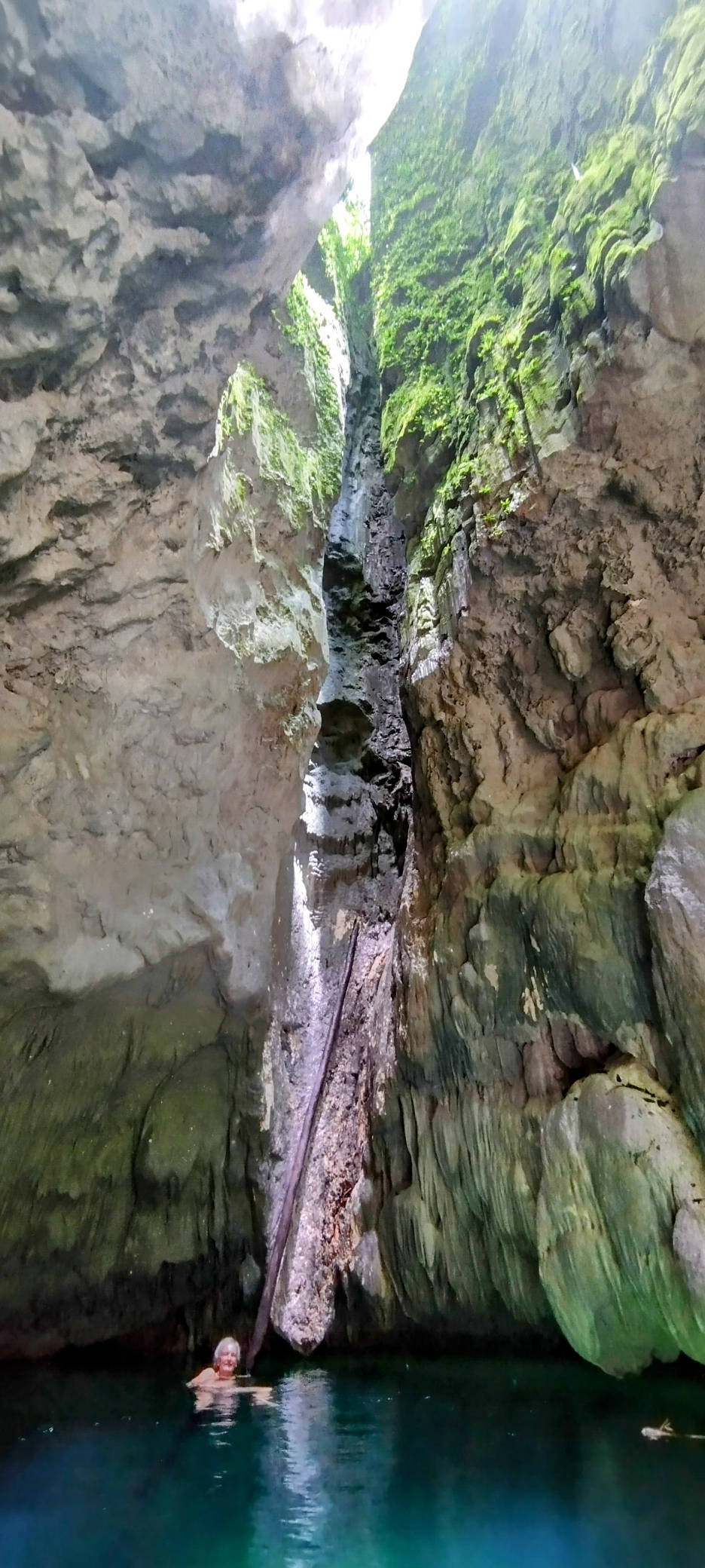
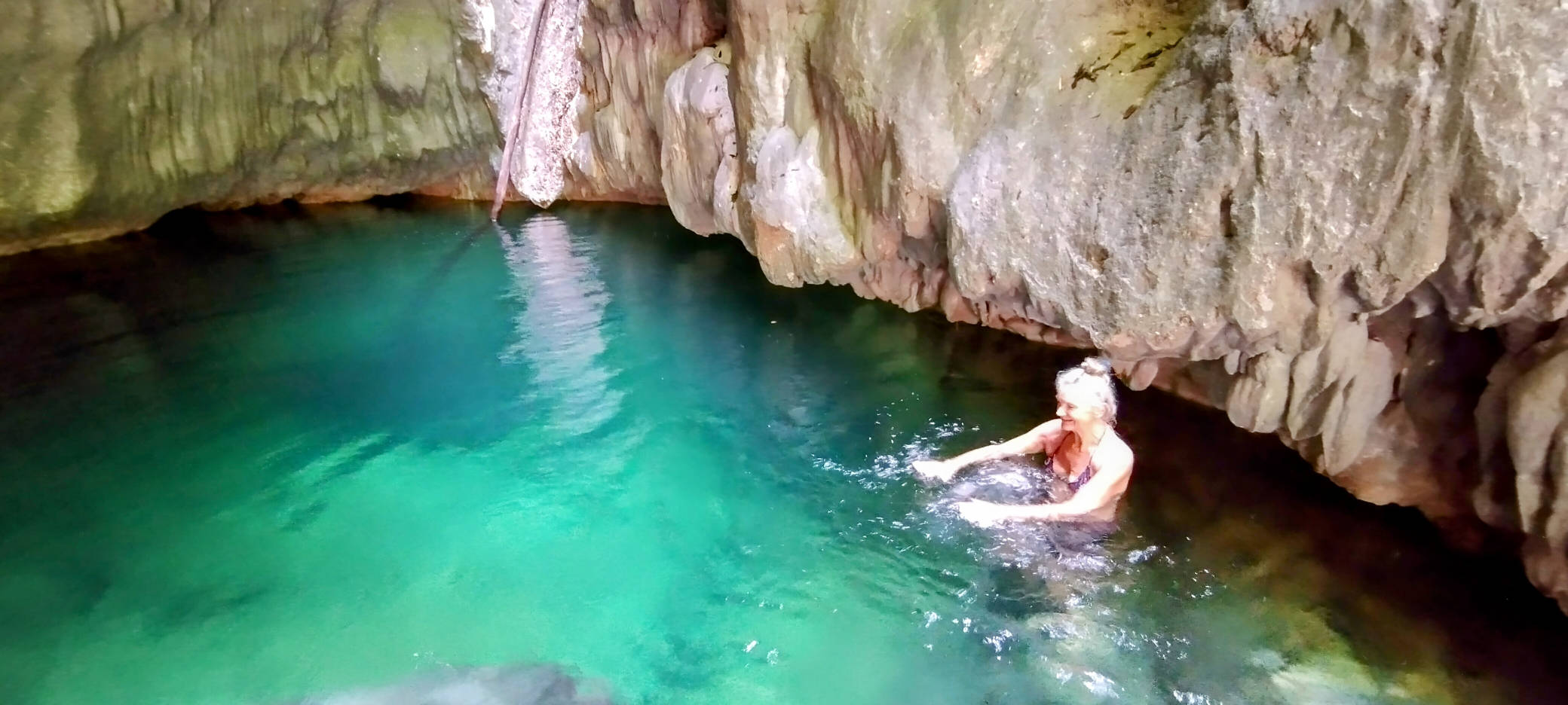
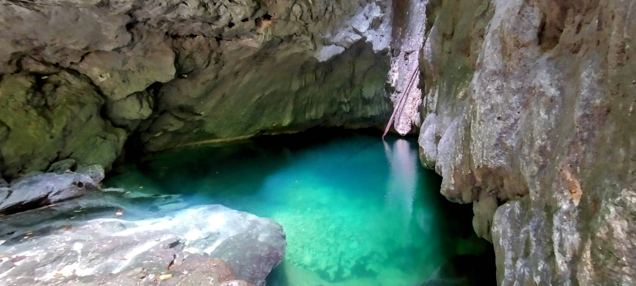
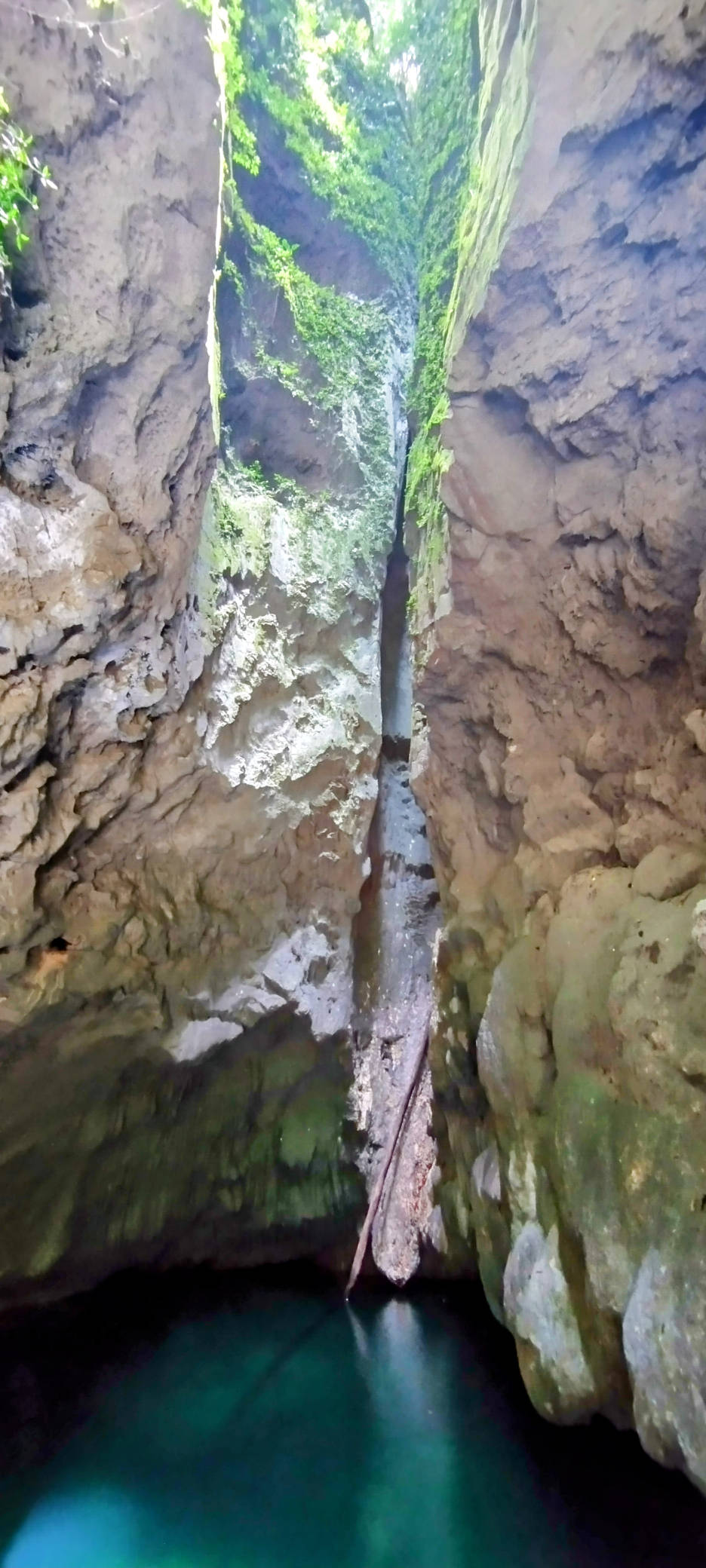
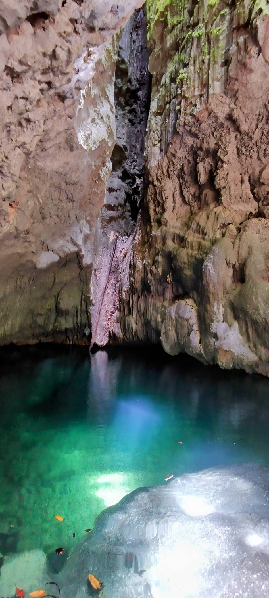
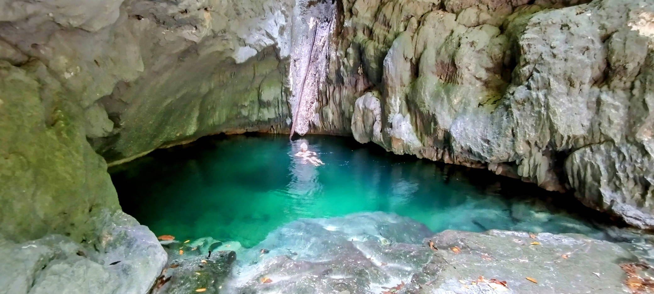
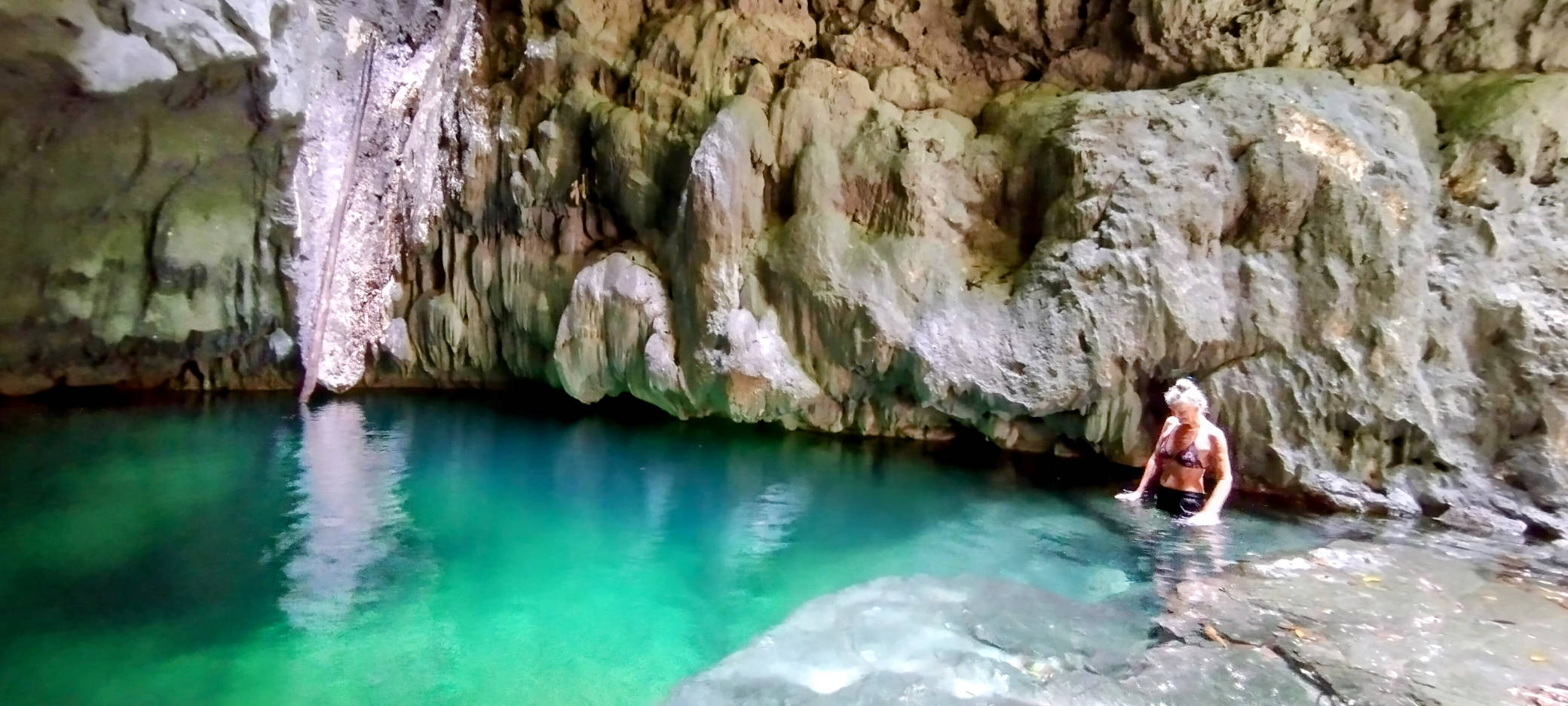
After about 15 minutes, we reached the top of the gorge, where it ends at what is almost a cave, but with a roof that has a thin fracture where the water has eaten it away over the years. It is here that reason for the name “sharpie” becomes apparent, as the stream running into this cave descends from above, down what appears to be a pipe of about two metre diameter that has been eroded from the sides of the gorge.
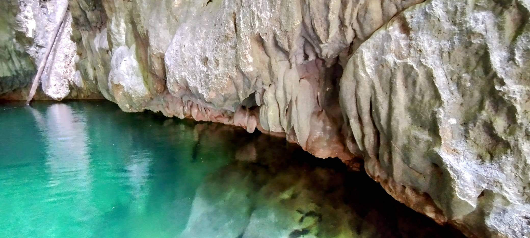
At times of low water flow, like when we visited, the dribble of the stream has created a tongue of calcium that reaches over the overhanging cliffs and down into the deep pool below. We commented that to be caught at the pool during a heavy storm would be certain death in the torrent of water that clearly flows down at times.
This gorge is so tall and narrow that it is in deep shade for all but about 30 minutes each day, when at mid day, the overhead sun can shine down into the base of the gorge, where it progresses across the rocks like a living sundial.
We visited this waterfall and pool twice during our stay in the bay off the side of Teluk Malayabit, and it will remain in my memory as one of the highlights of our time in Indonesia.

Leave a Reply