
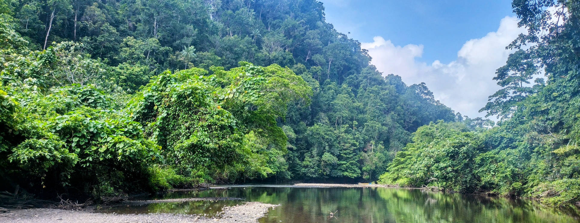
Waigeo is the island just to the north of Sorong, on the north-west tip of Papua. It is another of these karst rock islands of Raja Ampat, formed by the uplifting of the corals on the sea floor to form a limestone like rock that dissolves in water, forming the most rugged and interesting shapes.
The main town of Waisai is the administrative capital of the Raja Ampat national park, and is the main market town for the outlying villages and tourist “homestays”. After restocking at Waisai, we headed east along the southern shore towards a natural wonder that we had heard about; Kaliburi, or literally “blue river”.
This freshwater stream runs down out of the jungle and into the narrow channel that opens into the Teluk Mayalibit, a huge lagoon that opens to the ocean through a little narrow gorge through which all the tidal range is force. We stayed around this area for several weeks.
-
Dampier Strait
After a couple of months out at the northern islands of Raja Ampat, we are now heading back to the south east to find more food and to reprovision SeeBeeZee. We’ve come around the west of Gam, and keeping Gam to the north turned into Dampier Selat (Dampier Strait) to head for Waisai on the…
-
Waisai Cafe
One of the highlights of visiting Waisai to re-provision SeeBeeZee was our opportunity to try the local foods at the cafes and stalls along the road. The RM S’Kumbang Timur is a nicely presented cafe with very friendly and helpful staff, who recommended our plates last night. We enjoyed them so much that we postponed…
-
Waisai Streets
After cruising the northern islands of Raja Ampat for the last two months, it was time for us to head to town to buy some more food. The town of Waisai on the island of Waigeo is a major port, and the administrative base for the marine park authority that issues the permits to vessels…
-
Waisai Markets
After months away around the islands of northern Raja Ampat, the local markets at Waisai provided an excellent opportunity to refill the cupboards and fridge on board SeeBeeZee. The markets back onto the little creek that runs out in the eastern end of Waisai town, and this a major point for provisioning for all the…
-
Waisai Waterfront
The Waisai waterfront park would have once been a tourist attraction, with playgrounds and eating places amongst the garden setting. But for some reason, it has been left to rot, and while popular with locals partying into the evening, it is unused during the day. We suspect that maybe it the shutdown of international tourism…
-
Kaliburi Anchorage
Leaving Waisai full of food, we had a nice sail with westerly breeze for about 30 minutes while we headed towards the tidal race at Kaliburi. Typically for the doldrums, the little wind soon died, and we had to motor on for the rest of the way, as the time was right to let the…
-
Teluk Mayalibit – Part 3
After the dolphin find, we looped around out into the bay (video on right), passing a couple of islands, before exploring some more bays closer to the tidal race. Here again we are stunned by the jungle encroaching onto the sea, with mangroves colonising on coral beds, and trees that fall over the cliffs becoming…
-
Teluk Mayalibit – Part 2
After exploring the first freshwater creek, we then followed the coast further north to a little white gravel beach. As the shoreline of the bay is generally composed of undercut limestone cliffs draped in overhanging jungle, it is rare to find a beach, let alone anywhere to get off the water. The beach is backed…
-
Teluk Mayalibit – Part 1
Upstream from the tidal race at Kaliburi, the narrow river opens into a huge bay, more than 20 nautical miles (around 40km) to the other side. This area of water is the reason why the tide runs so strongly through the narrow gorge back at Kaliburi, and that restriction reduces the tidal range inside the…
-
Kali Biru – Blue River
From our anchorage at Kalibiru, we took the dinghy up the big river valley to the east, in search of the Kali Biru – “the Blue River”. From our anchorage, we dinghied through the whirlpools of the tidal race, running through deep gorges that cut through the huge limestone mountains along the shoreline. The jungles…
-
Kolum Air Ajelly
After our visit to the Blue River, we ventured further upstream above the tidal race, where the river opens into a huge bay that is the source of the strong tidal current. This bay, Teluk Malayabit, extends for about 20 nautical miles (around 40km) into the interior of the island of Waigeo, and almost splits…
-
Kalibiru Canyon
Adjacent to our anchorage in the river at Kali Biru was a narrow canyon, so well hidden that it could not be seen until almost inside it. The water within the canyon is really deep, right up to the cliffs, and can be approached without any concern of running aground until deep within where there…