
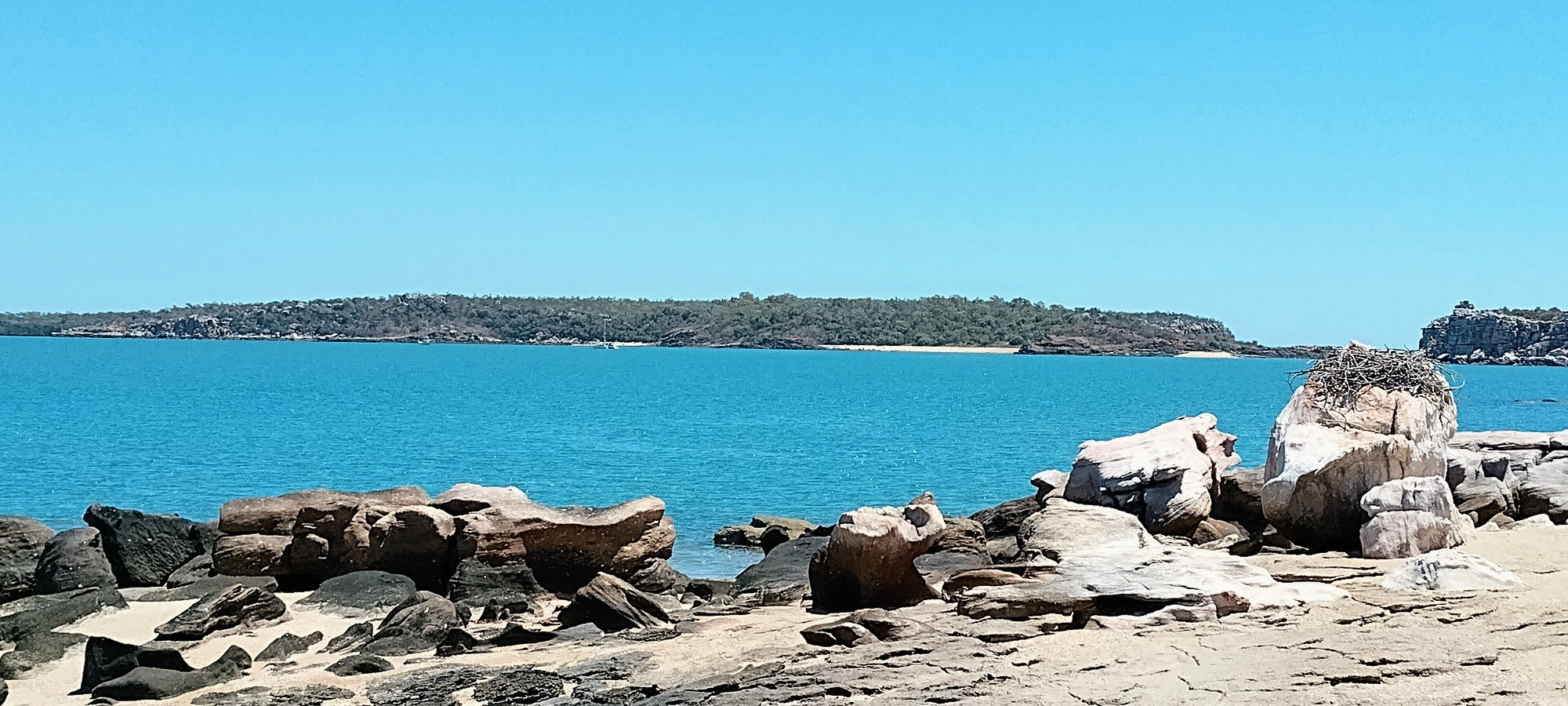
After leaving Glycosmis Bay, we travelled west by rounding Cape Londonderry. This is the furthest north point in Western Australia, and has a reputation for rough water on account of the meeting of two strong tidal flows. We had a smooth passage in calm conditions with the tide assisting. At one stage, we were sailing along in a calm, making only 2 knots through the water, but due to the current, were actually making more than 8 knots over the land. The first beach inside the Napier Broome Bay to the west of Londonderry is under Point Talbot, and we stopped here on our way down to the Governor Islands in the middle of the bay.
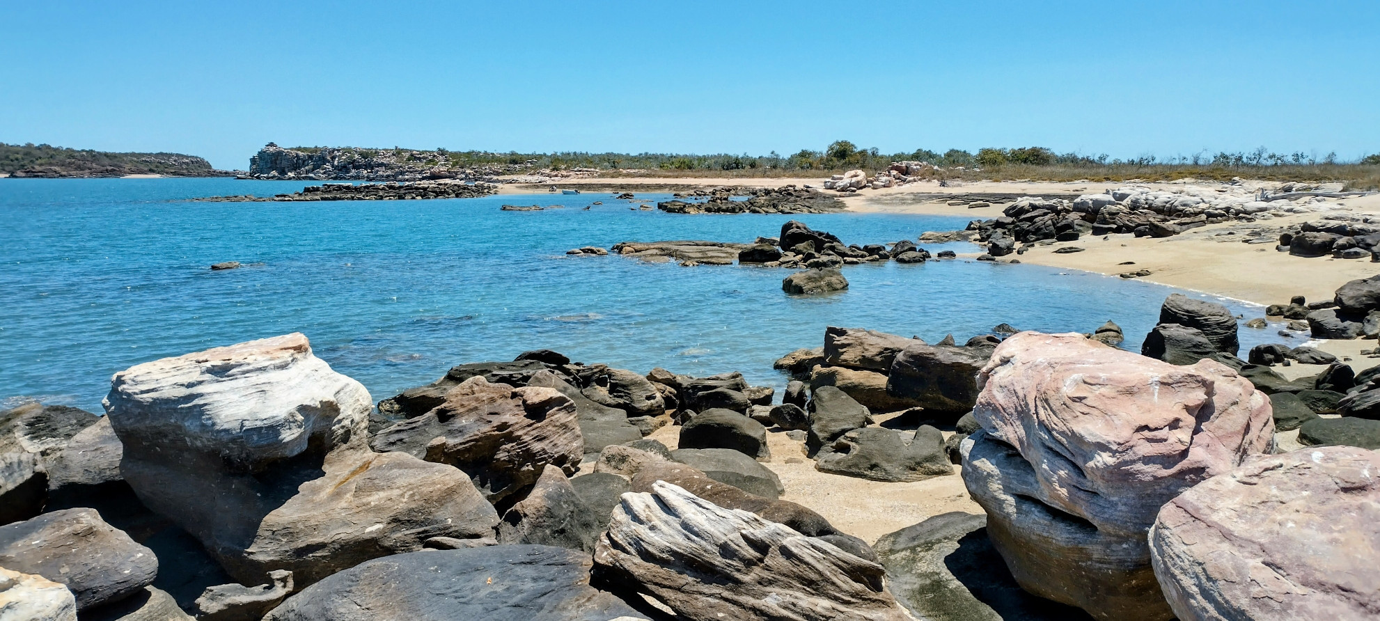
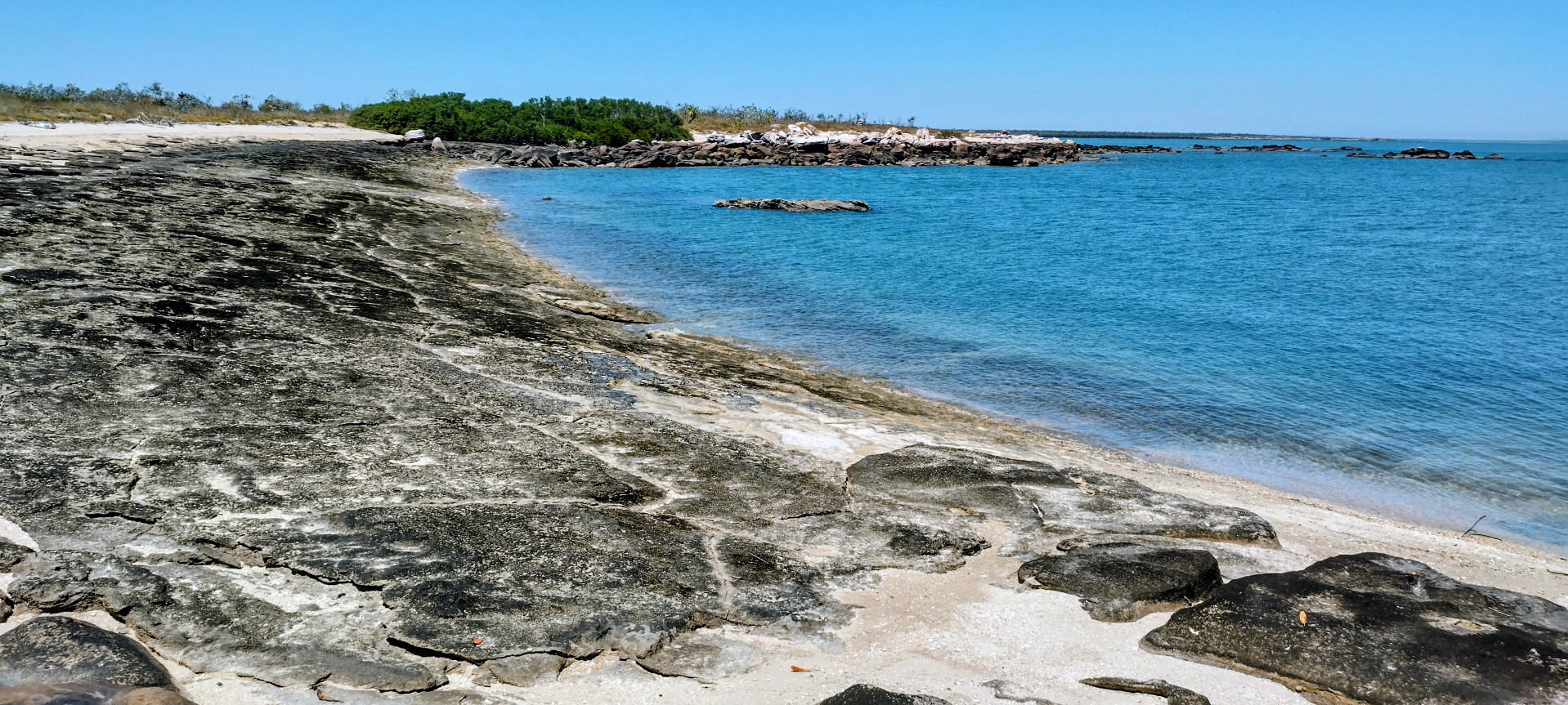
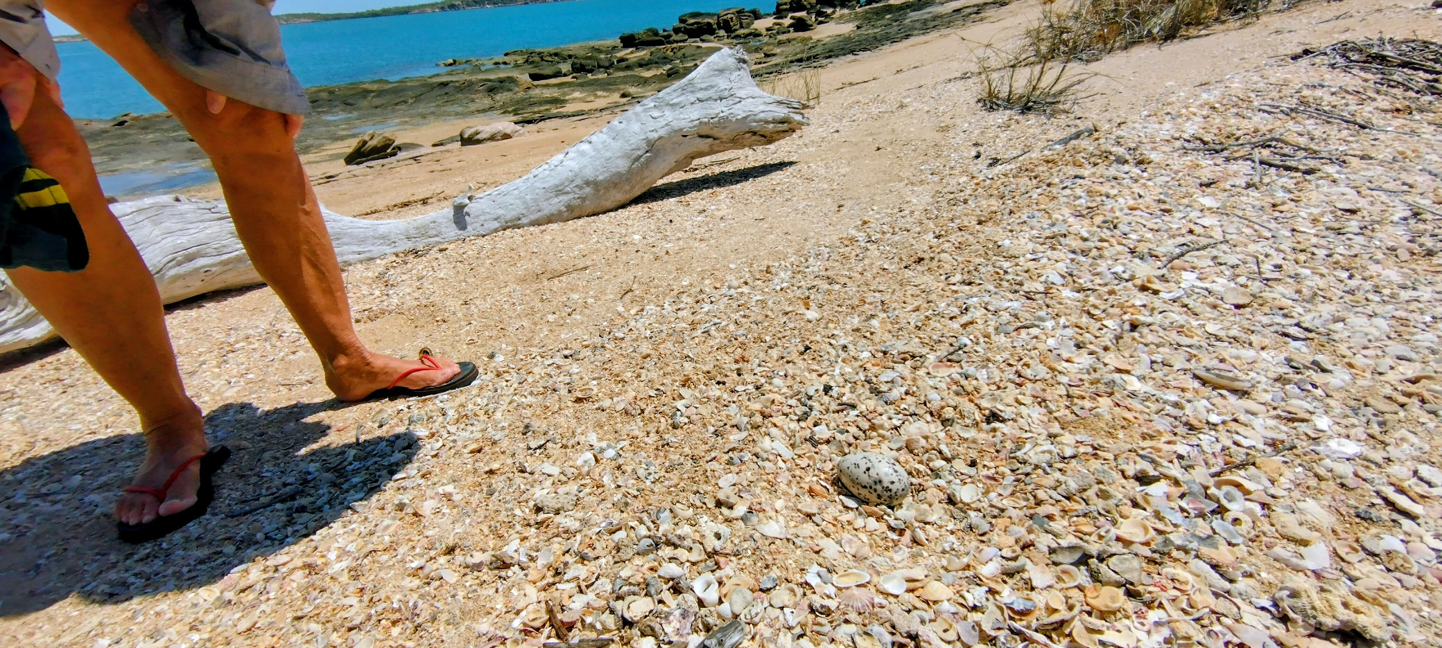
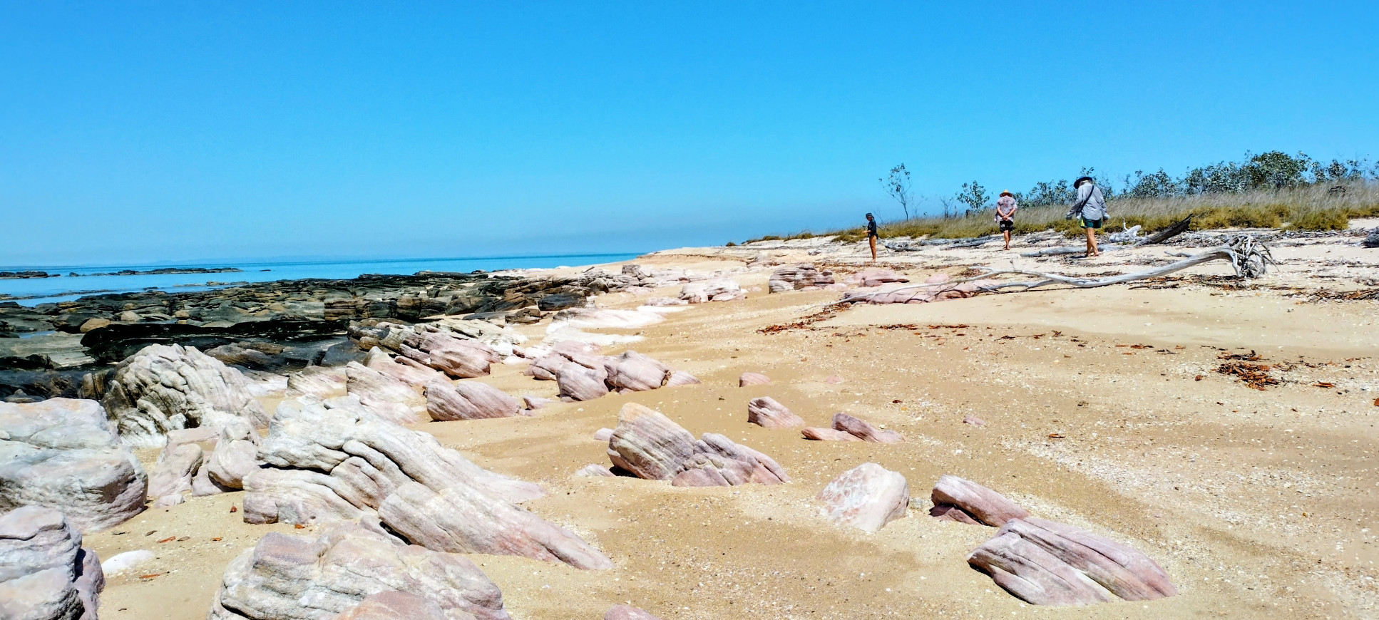
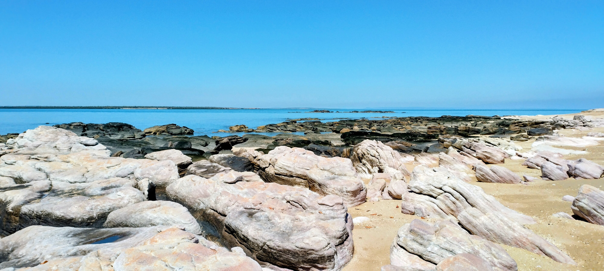
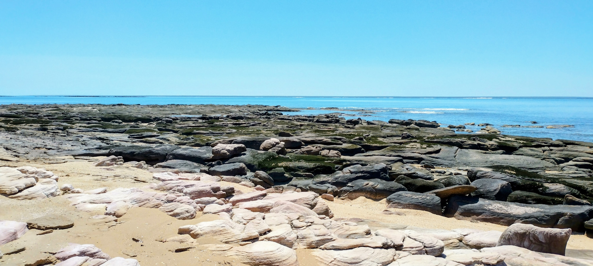
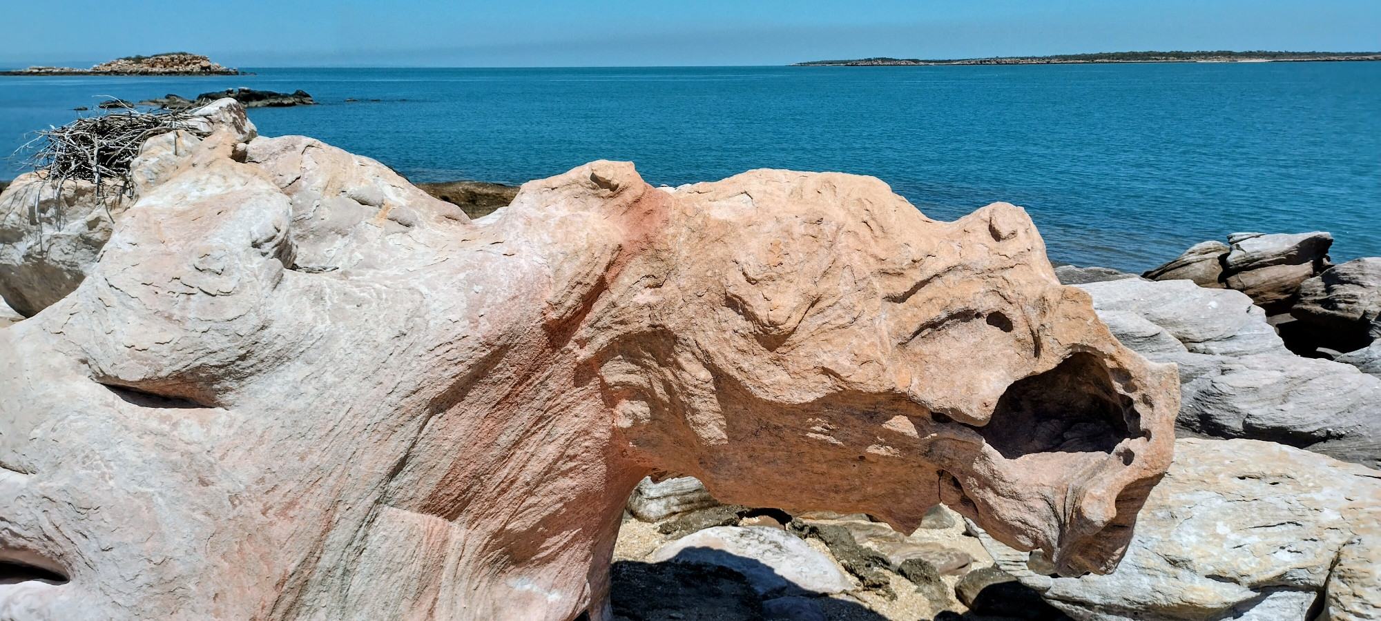
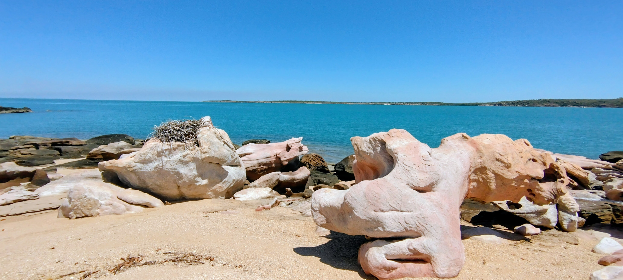
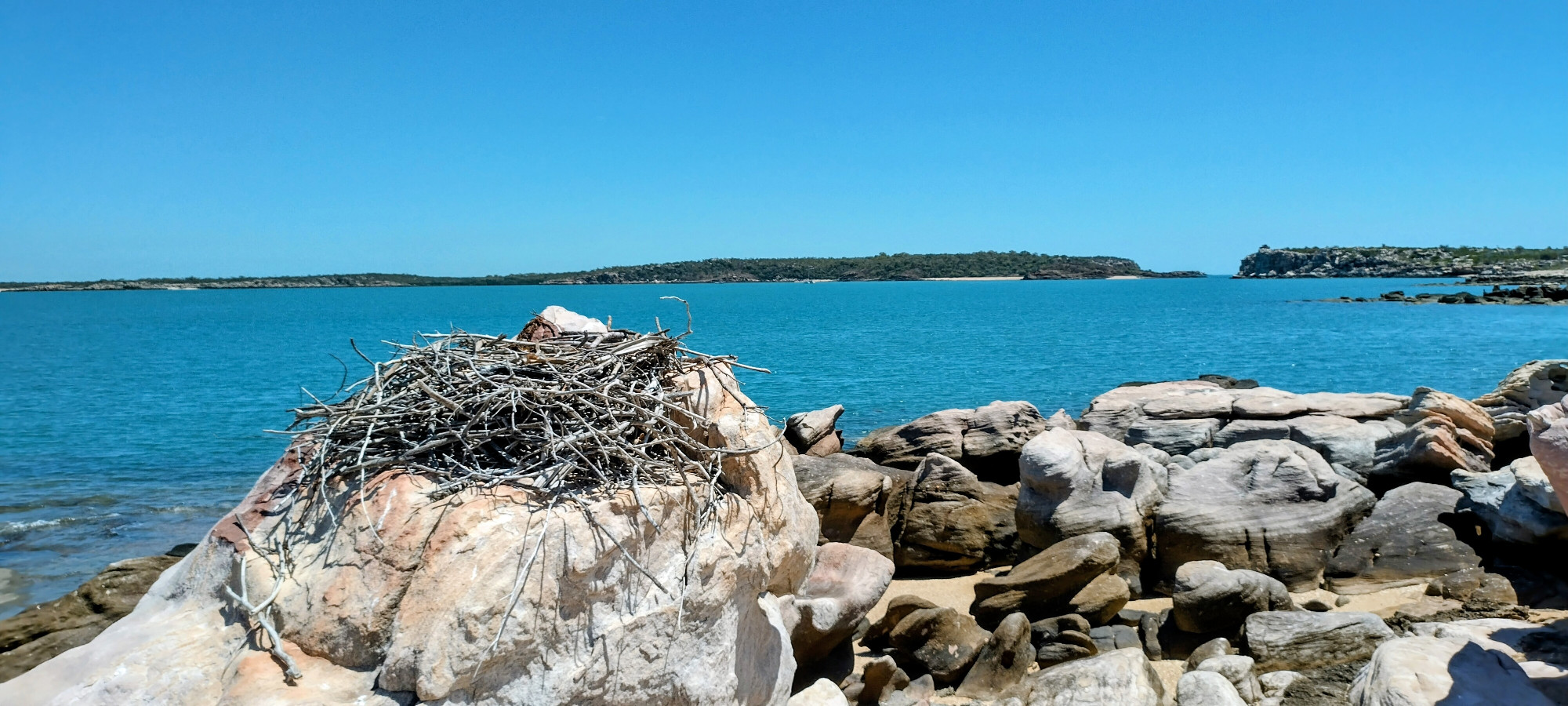
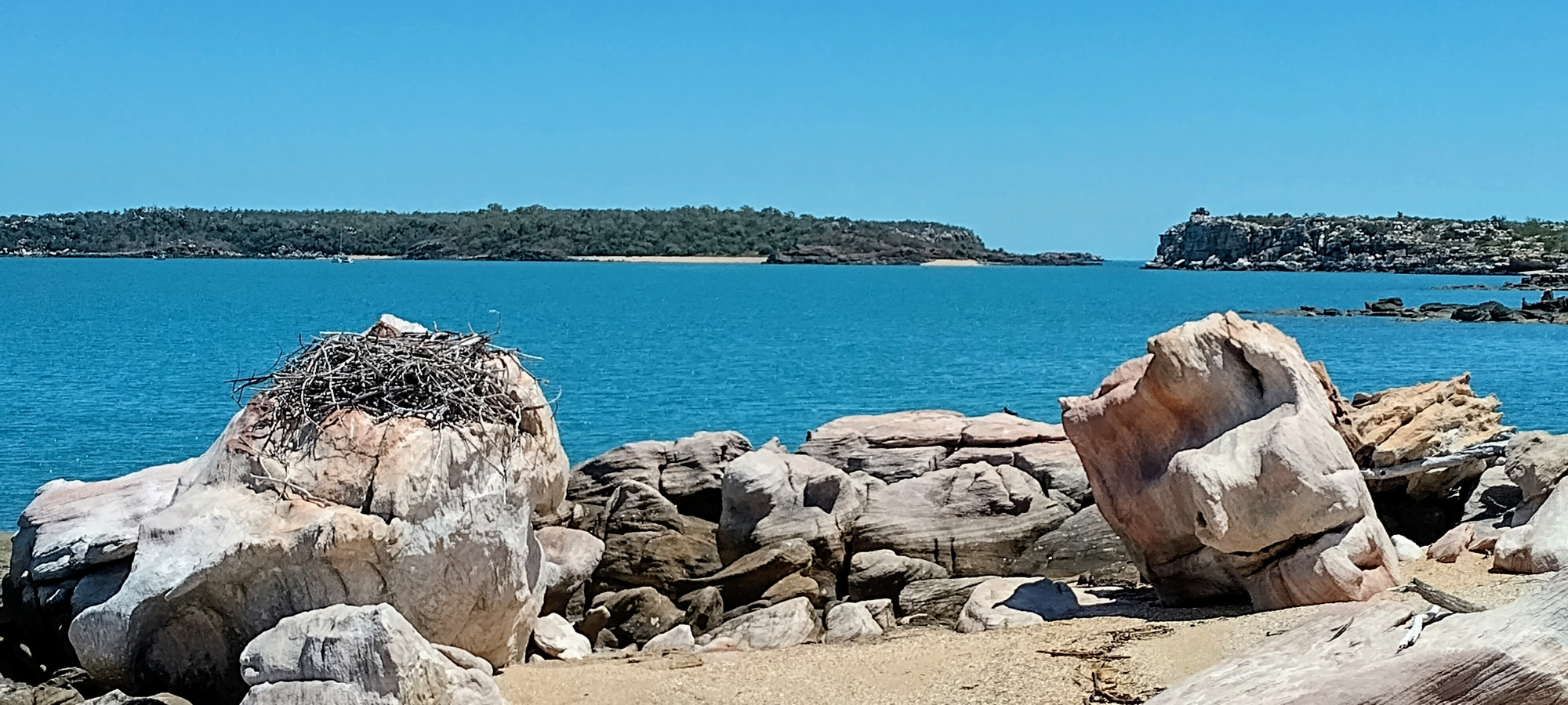
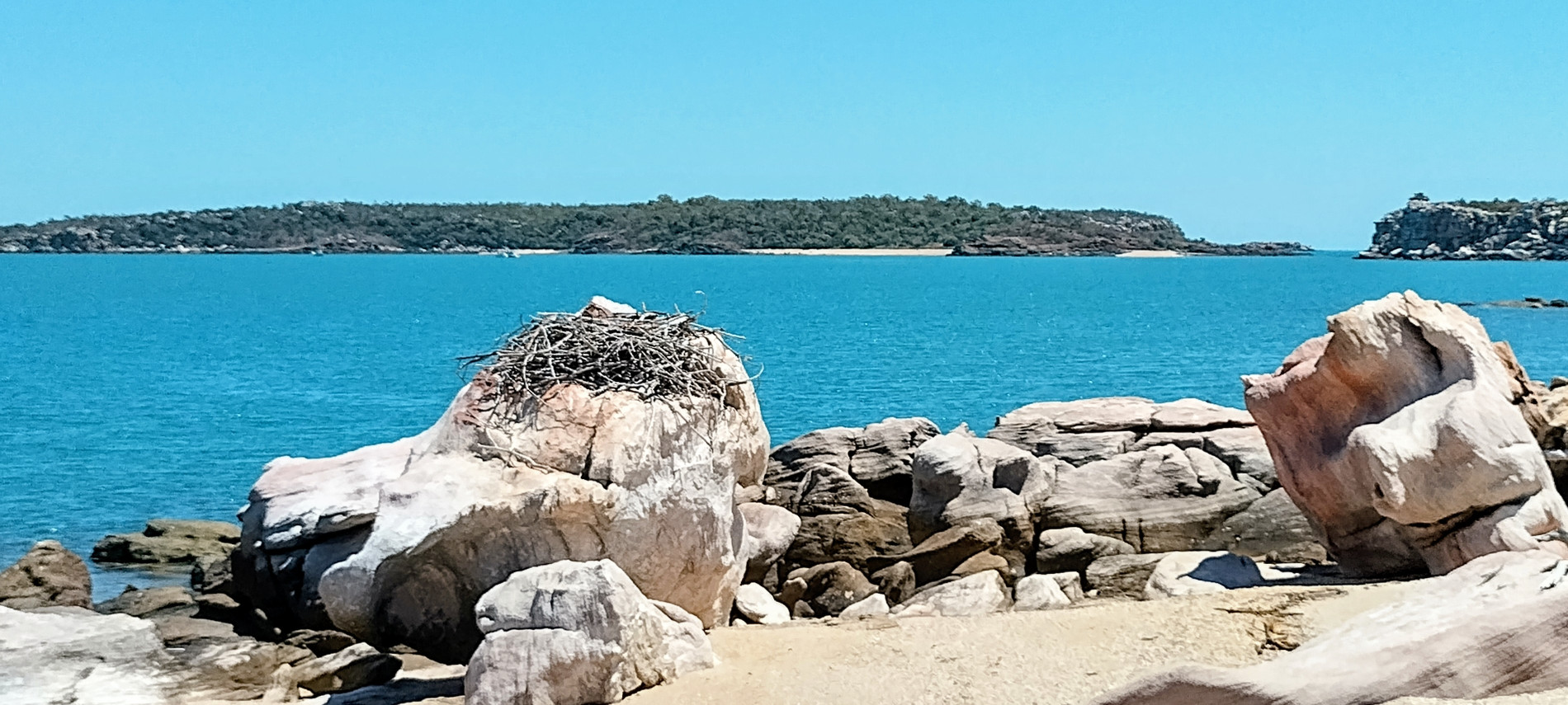
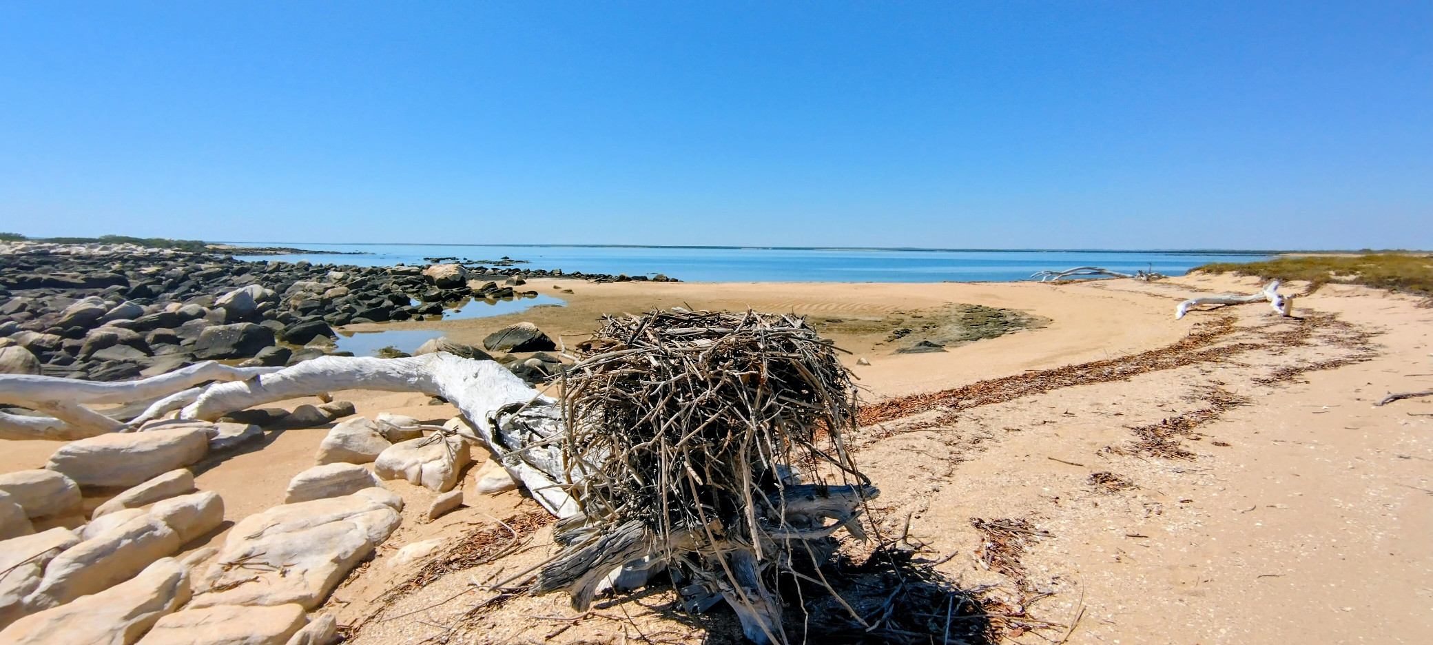
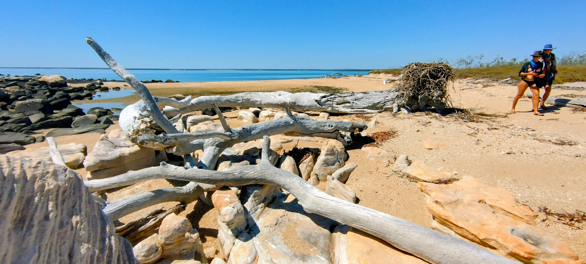
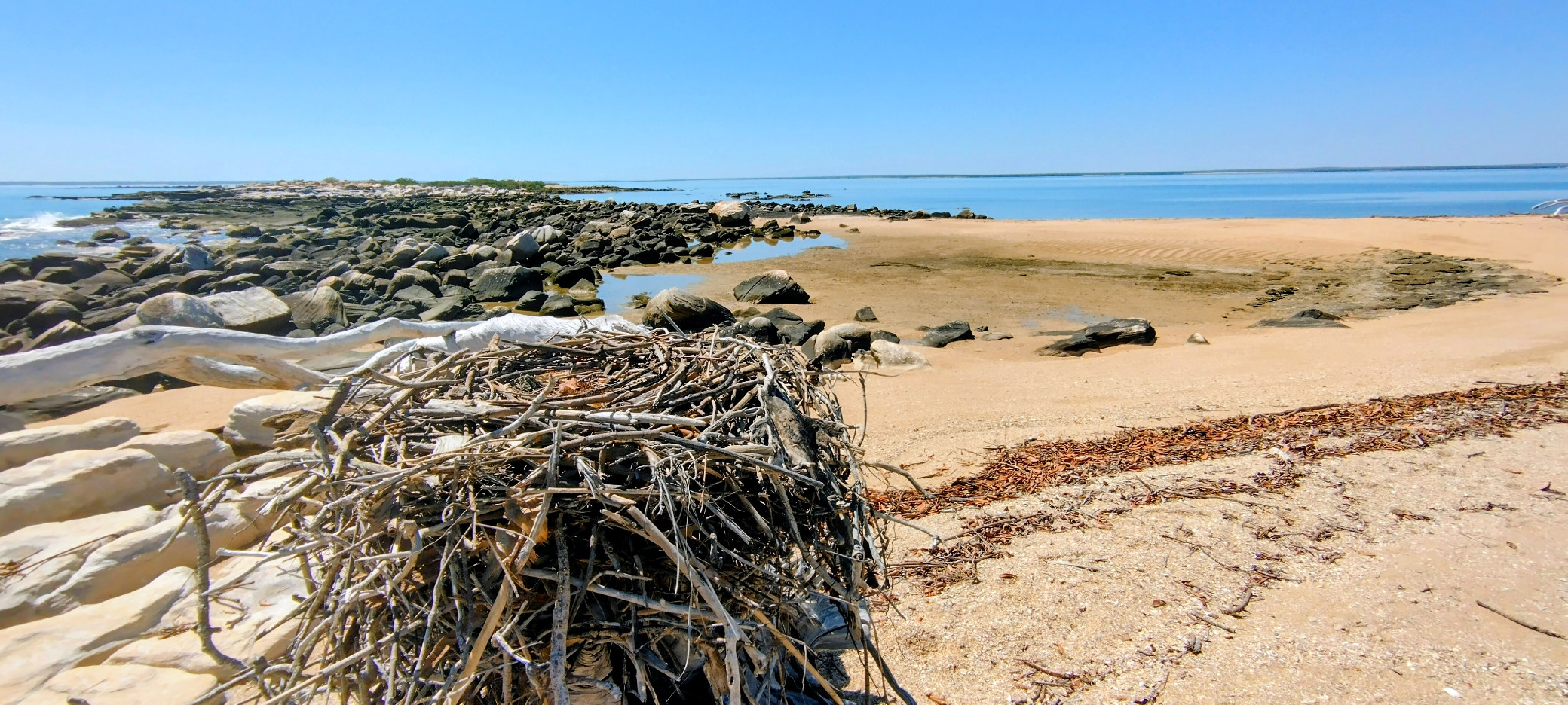
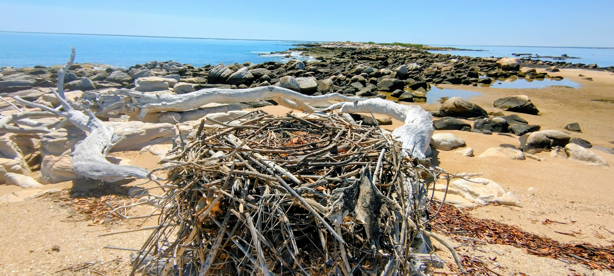
Anchoring in the bay formed by the two islands, we went ashore on the East island, crossed over to the eastern beach and returned to the west by walking around the southern point. This southern end of the island is low and flat, and contains numerous small white sand beaches punctuated by flat rock outcrops. The most remarkable feature of this shoreline was the large number of sea eagles and their nesting places built low to the ground on logs and rocks. Also on the ground was a bird egg, which we believe to be that of a Beach Stone Curlew.
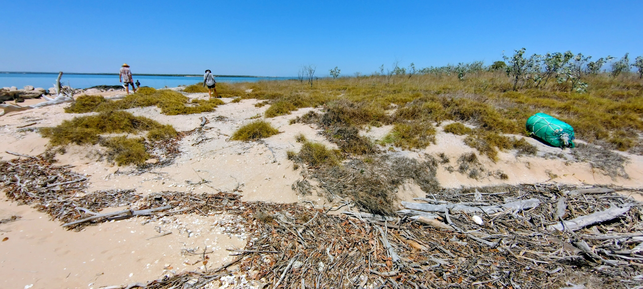
Also remarkable is the lack of plastic rubbish we are finding along the shoreline. The coast of northern Australia further east is covered in the plastic being blown down from Asia by the summer monsoons, but the Kimberley coast seems to be too far west for the stream of plastic debris to cause a problem here, although we did find one large green buoy that appears to be constructed in the typical Indonesian way by enclosing foam in plastic wrapper.


Leave a Reply