

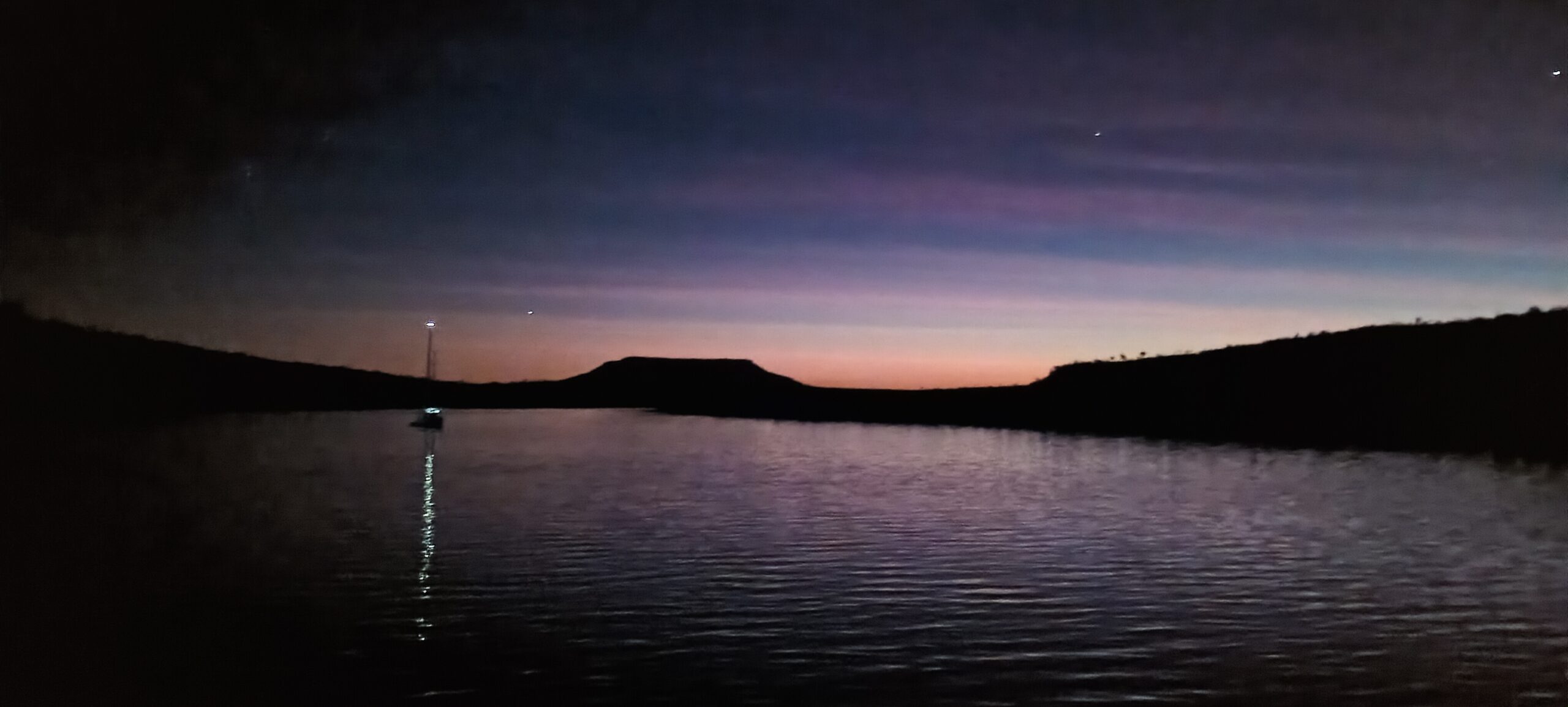
I expected that the trip from Reveley Island into the bottom reach of the Berkeley River would have been uneventful. But the unexpected can always be expected on a boat.
The Berkeley River empties into the Bonaparte Gulf across a wide sandbar that lies well offshore from the mouth of the river channel, extending from about a mile north of the entrance across to a deep channel that runs out adjacent to Reveley Island. At low tide the sandbar is covered in breakers. When the tide ebbs, the current causes waves to break everywhere. We started off from the inside of Reveley Island, and the narrow channel there is at its shallowest where it meets with the main river channel a bit further around from the anchorage.
Traveling with our friends on Keira, we decided to head off first and chart the channel as they draw almost two metres of water and can not risk stranding. We left with the tide only half in, so that there would still be sufficient time on the tide for them to follow. We progressed slowly, zig-zagging across the channel in order to find the deepest water. As we approached the channel junction where it was expected to be shallow, waves were breaking all around, caused by the strong current and the wind, and they confused me about where the channel ran and where the water was shallow. And then our depth sounder started giving stupid readings, going suddenly from 5 metre depth to just 2 metres. Unsure about what the depth actually was, confused about the waves, wondering about whether the channel had moved, I wasn’t sure which way to turn. The water was quite murky and the colour provided no clue. By following last years track, we found the deep water and found our way in to the river, but were not able to provide any assistance to Keira. Luckily, one of the pocket cruise ships exited the river soon after, and Keira were able to take marks from their AIS and get a reliable track to follow.
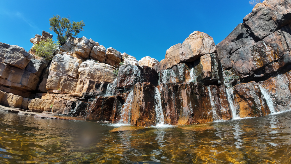
From this anchorage at the bottom of the river, we had access to the First Creek. It was interesting to see the damage to the mangroves that resulted from Cyclone Fina. Trees appeared to snapped off several metres above the high tide level. It seems that this must have been the height of the storm surge when the wind of the cyclone hit. The clear fresh water coming down the creek was flowing much faster than when we were here last year, and provided a prefect swimming hole right above the falls where the creek flows into the salt water. Floods that came with the cyclone must have stripped out a lot of vegetation, allowing us to trek upstream and find another swimming hole with cascades of water flowing over the rocks.


Leave a Reply