

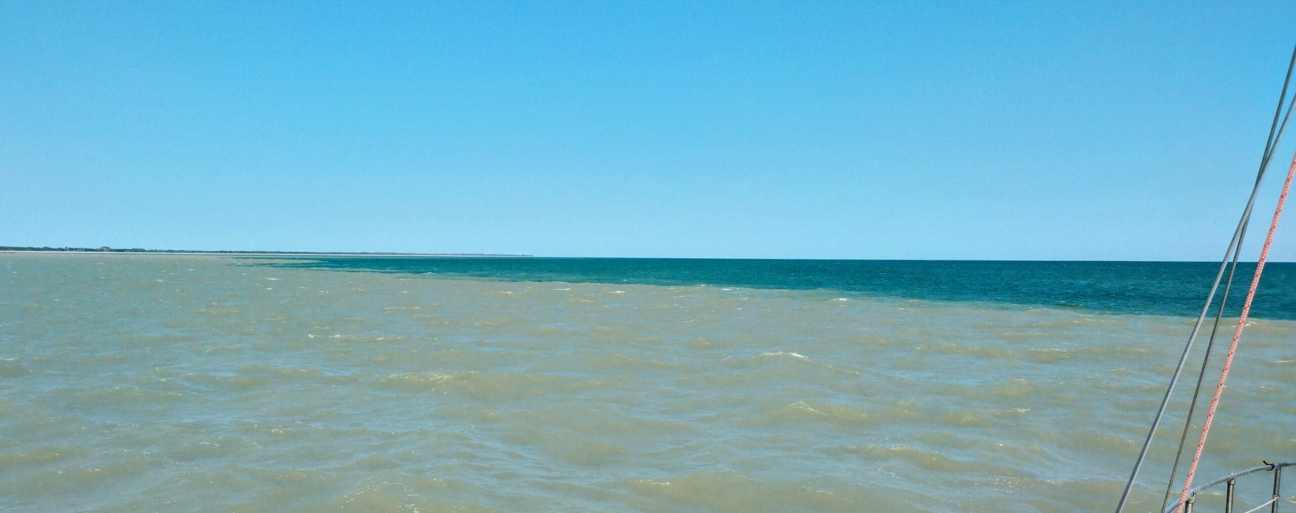
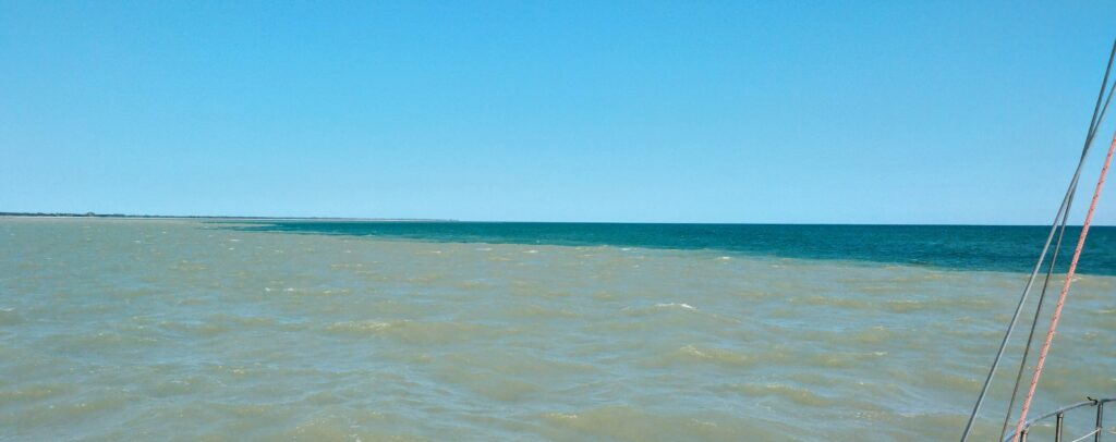
On August 2, our second day out of Darwin, heading south towards the Kimberleys, we came around North Peron Island into Anson Bay, and were confronted with coloured water.
The charts are a little unreliable, with much of this area labelled as “unsurveyed”. Satellite images are often useless, as the large tides in this area stir up current and cause the water to be too turbid for satellite to be able to see through to the sea floor. Our depth sounder showed sufficient depth as we skirted the island, and it proved to be that this line of muddy water was the ebb tide discharge from the Daly River, the mouth of which was about 20 miles away.
It just goes to show how the different water masses in the seas do not like to mix!

Leave a Reply